By Mike, W6MVM Hi, the first question is “Is CW dead?!?”. Code is no longer required to get a license. Does anybody still use it? It was dropped from the requirements because the military no longer needs trained operators. For many years it was thought essential for national defense to have trained Morse Code operators, but not in the age of digital communications. But is it dead? Not hardly. As I’m writing this column, I’m tuned to the 20 meter band. Looking at the lower CW portion with my Flex 6300. The spectrum is set to cover the whole CW area […]
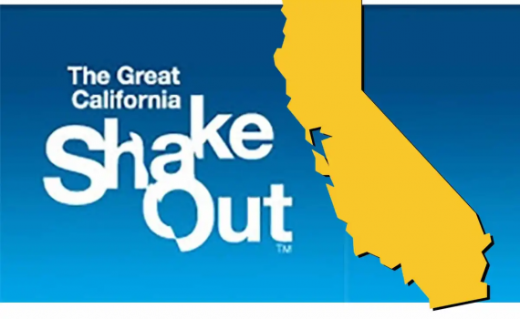
TCARES members Rich Combs, KN6HSR; Ned Sudduth, K6NED, and Toni Sudduth, K6TNI, reported that the October 2023 Great California ShakeOut exercise was an “outstanding” success. Here is their story as reported to the ARRL News (11/03/2023): K6NED / WRPM781 “This is a drill. Drop! Cover! Hold on!” was the mantra for the Great ShakeOut exercise on October 19, 2023, at 10:19 AM in Tuolumne County, California. The Great ShakeOut is an annual international event that promotes awareness of how to prepare for and react to an earthquake. For the past 2 years, TCARES has used this event as an opportunity to test our […]
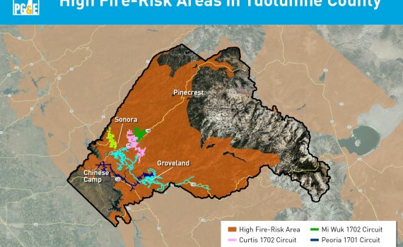
During any outage, customers can find updates at pge.com/outages. In December, updates will be made to this page that offer improved information, including: